


My Place History app for iPhone and iPad
Developer: ESRI
First release : 03 Nov 2010
App size: 7.71 Mb
My Place History is a way to link public health information with personal environmental experience. Using geomedicine -- a more modern framework for bringing everyday information into the physician/patient relationship -- Esri allows you to achieve a greater understanding of how local environments affect health.
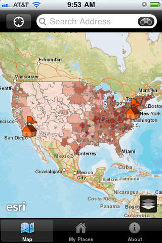
As more and more Americans move each year, the need for detailed information about our personal environments grows. My Place History is a new tool that links your personal place history to several governmental databases, including the Toxic Release Inventory (TRI) of the United States Environmental Protection Agency, and the National Institute of Healths known chemical database. Both of these databases have been in the public domain since the late 1980s.
Using U.S. street addresses to create and maintain a personal place history, My Place History allows you to gather general information about the distance (or proximity) to certain specific events, hazards or exposures and unlock a wealth of geographically relevant health information. Users are encouraged to review more detailed documentation at the EPA (www.usepa.gov/TRI) and National Institute of Health Toxmap (www.nlm.com/nih/toxmap) websites.
Future versions of My Place History will include additional databases, like water quality, school performance, crime, lead contamination, cancer, mortality and poverty. As more public health data is made accessible, we hope that you will use My Place History to engage in an on-going process of self-discovery.